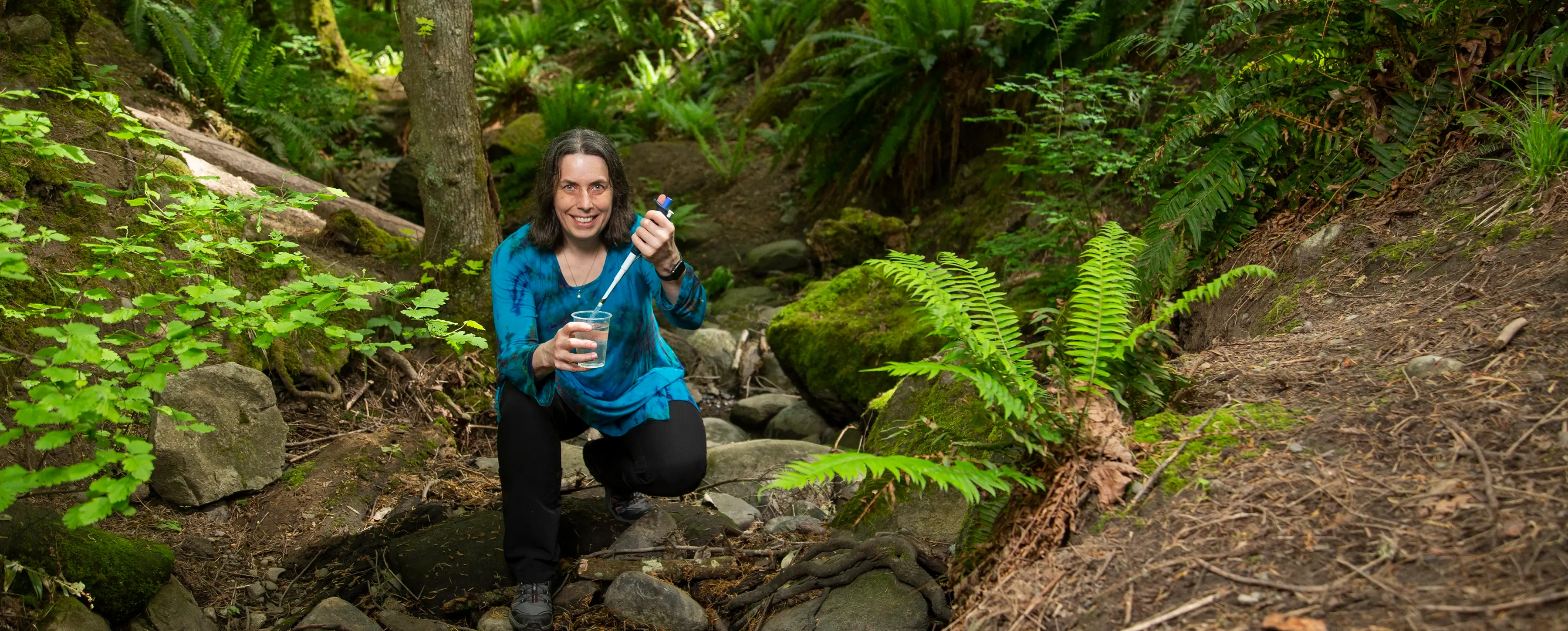
Homayoun Najjaran and his research group, the Advanced Control and Intelligent Systems (ACIS) lab, are experts in developing autonomous vehicles and robotics. Now they’re taking this expertise to the skies.
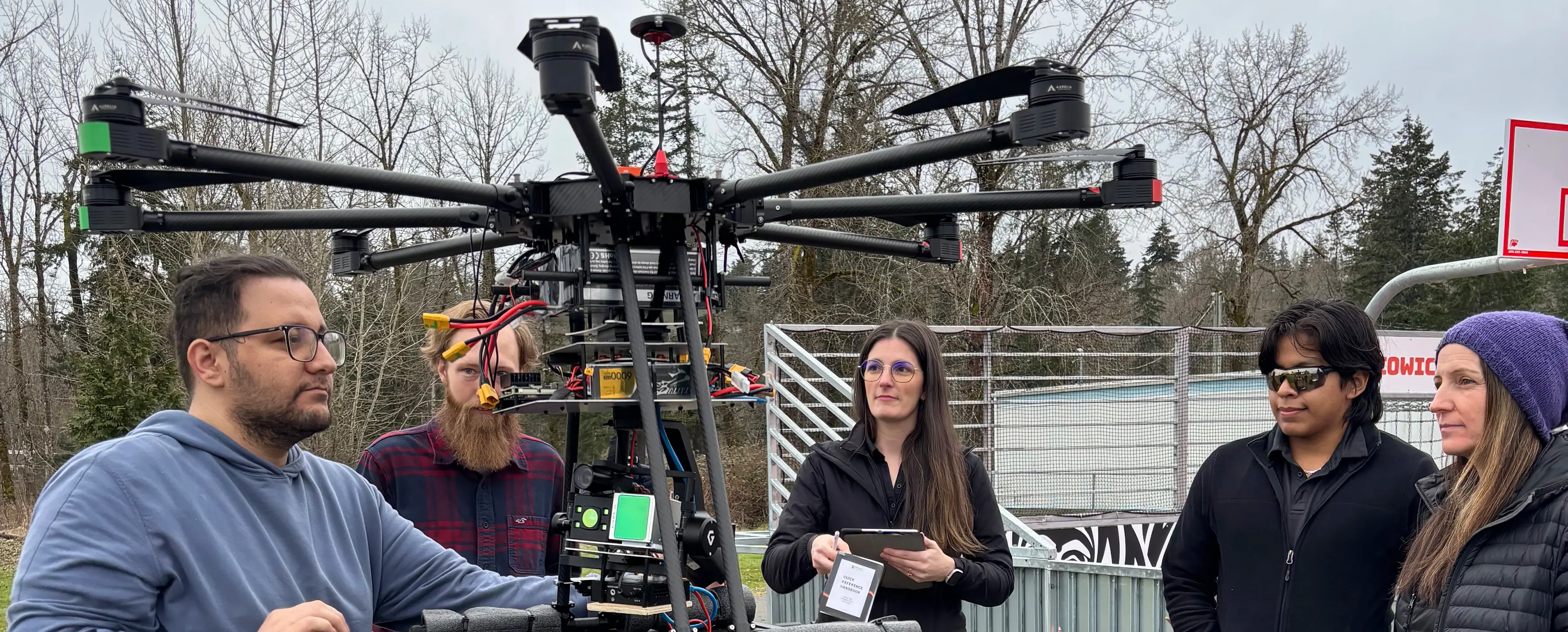
On Feb. 27, ACIS and partners from Cowichan Tribes Emergency Services and InDro Robotics did a live test of a drone carrying a prototype payload, new aerial technology to autonomously map areas of interest in order to support better risk management for natural disasters like flood and wildfire.
“We want to ensure that the technology we’ve developed is user-friendly and meets the needs of the Cowichan community and others like it,” says lead designer and PhD candidate Shahab Sotouni. “The novelty lies in the ability of the drone to autopilot, eliminating the need to define point-to-point directions — the drone can define its own optimal flight path.”
And while it’s doing that, the bolt-on payload of cameras, Light Detection and Ranging (LiDARs) and onboard computers are collecting data to create a three-dimensional map at resolutions down to a few millimetres.
Collaboration with communities for better impact
Paula Lash, Emergency Services Research and Planning Advisor for Cowichan Tribes Emergency Services, is excited about the potential for drone technology. She recognizes that her team’s participation is crucial to ensuring that the technology meets the needs of small, remote communities where it can have the most impact.
The purpose of such a high-precision, AI-powered, autonomous 3D aerial mapping system is to survey terrain, buildings and infrastructure, identify areas of concern and proactively mitigate risks of damage. Automated data collection and analysis reduce human error and eliminate the need for on-site experts.
And of course, the question of the day: Does it work?
The answer: During the 20-minute flight, stability of the eight-rotor drone, even with the weight of the cargo, was excellent; and the drone flew more than half a kilometer without losing contact with the pilot. Even the imperfections were useful, as they allowed testing of fail-safe systems that directed the drone to the landing site safely.
“This test represents a significant step toward autonomous AI-enabled inspection and condition assessment of infrastructure, leveraging expertise from across Canada,” says Sotouni.
Risk management for the future
Next up is working with partners to develop beyond-visual-line-of-sight (BVLOS) capabilities, which has huge implications for risk management. The successful testing of the navigation details needed for BVLOS from this flight will advance the team towards a BVLOS drone test flight from Vancouver Island this year. Meanwhile, Lash and her team know the challenges of accessing remote areas, whether in the forest or on the water, and she eagerly awaits a tool that can help her with this work.
Najjaran sees the need as especially high in BC, which accounts for one-third of natural disaster recovery spending in Canada.
“We have wildfires and flooding here,” he says. His home in Kelowna survived the devastating fires two years ago, but many neighbouring homes did not. “This tool can’t prevent wildfire, but it can help ensure the community is more aware of the risks. What if we could better assess the risks — and enact more mitigation measures?”
This project advances several of the United Nations Sustainable Development Goals : SDG11 sustainable cities and communities, SDG13 climate action, and SDG15 life on land.