As the University of Victoria (UVic) expands observation systems from seafloor to space, we’re creating new ways to understand and respond to Arctic change.
Canada’s first community-led ocean observatory
Ocean Networks Canada (ONC) is a one-of-a-kind global research organization that operates seafloor and coastal observatories in the Pacific, Arctic, Atlantic and Southern oceans. Its real-time ocean monitoring networks are located in some of the world’s most remote environments, including Nunavut and Antarctica. ONC’s cabled observatories, including NEPTUNE and VENUS, use advanced underwater instruments to continuously collect real-time data on ocean conditions and marine ecosystems.
Starting from a good place
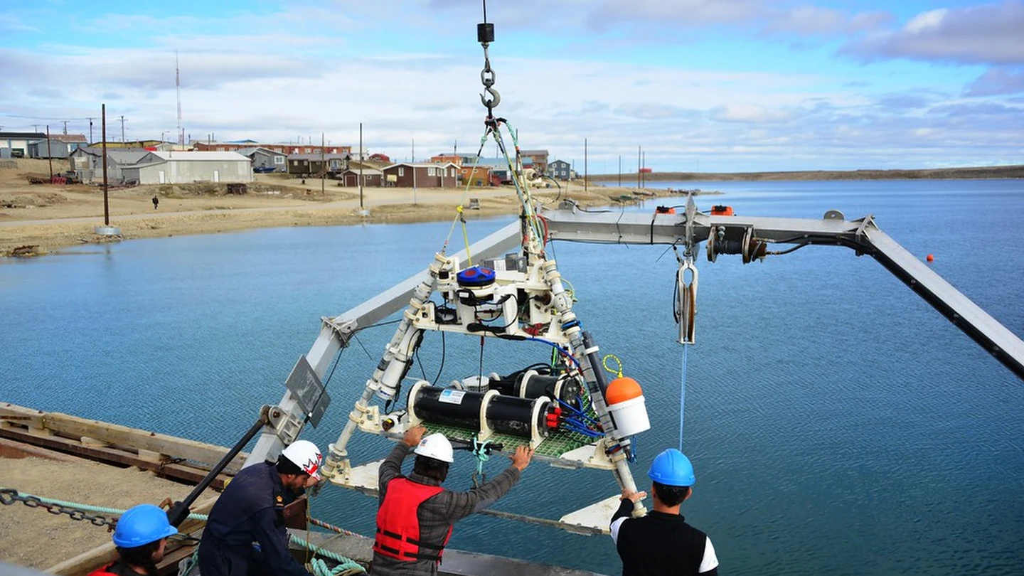
In 2012, ONC partnered with local Indigenous leaders to develop Canada’s first community-led ocean monitoring observatory in Cambridge Bay, Nunavut, known in Inuinnaqtun as Iqaluktuuttiaq, meaning “good fishing place.” The Cambridge Bay Coastal Community Observatory includes an onshore meteorological station and a shallow underwater sensor network that monitors everything from sea ice thickness and marine life to vessel traffic and atmospheric pressure.
Powering ocean science, education and conservation
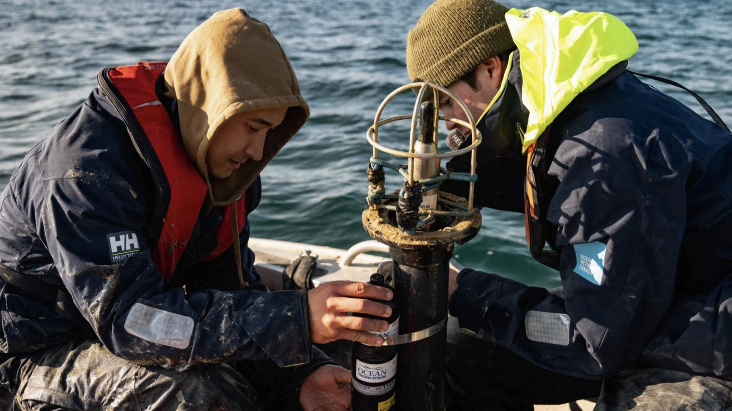
Data from the observatory supports northern priorities and many federal ocean management and protection initiatives, while creating scientific, educational and community benefits. Its data has contributed to peer-reviewed publications, research studies, graduate theses, education and outreach programs, and a range of environmental monitoring and industry projects.
Collecting important data from the ocean is only the tip of the iceberg for ONC. Recognizing Indigenous leadership in ocean observation since time immemorial, the observatory has been co-designed and shaped by Inuit guiding knowledge.
The observatory creates opportunities for the community to engage in hands-on learning, technical training and environmental stewardship. In 2014, Mia Beattie became ONC’s first Arctic Youth Science Ambassador shortly after finishing high school. Her task: to collect shoreline measurements and engage youth in the community.
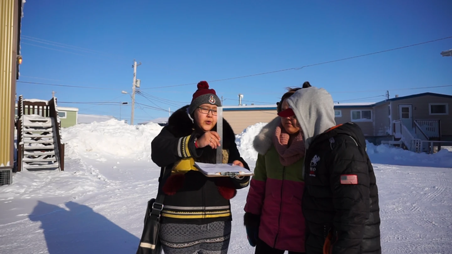
In an article in the Globe & Mail, Mia shared her experience and the impact the program had on her life.”It was cool, being an Inuit youth but also teaching other Inuit youth about the importance of the work Ocean Networks Canada was doing,” says Beattie, who credits her ONC experience as a key stepping stone to her career with the Nunavut Impact Review Board.
They really do an amazing job of not just wanting to teach Indigenous and Inuit youth but really listening as well. We’re the ones who live up here, we’re the ones who know our surroundings, our oceans and travel and our wildlife.”
—Mia Beattie, Impact Assessment Officer, Nunavut Impact Review Board
The partnership between the Cambridge Bay community and ONC combines the tools and training to collect data from places people can’t easily reach with the local knowledge and lived experience needed to turn information into action. In the same article, Bruce Kambarami, another Cambridge Bay resident, explained how ONC’s open-source data adds to the local knowledge of hunters and trappers by providing information to guide important decisions, including if sea ice is stable enough to go out on any given day.
This idea, that shared knowledge creates shared impact—is at the heart of the Cambridge Bay Coastal Community Observatory.
Studying new ways to improve Arctic connectivity
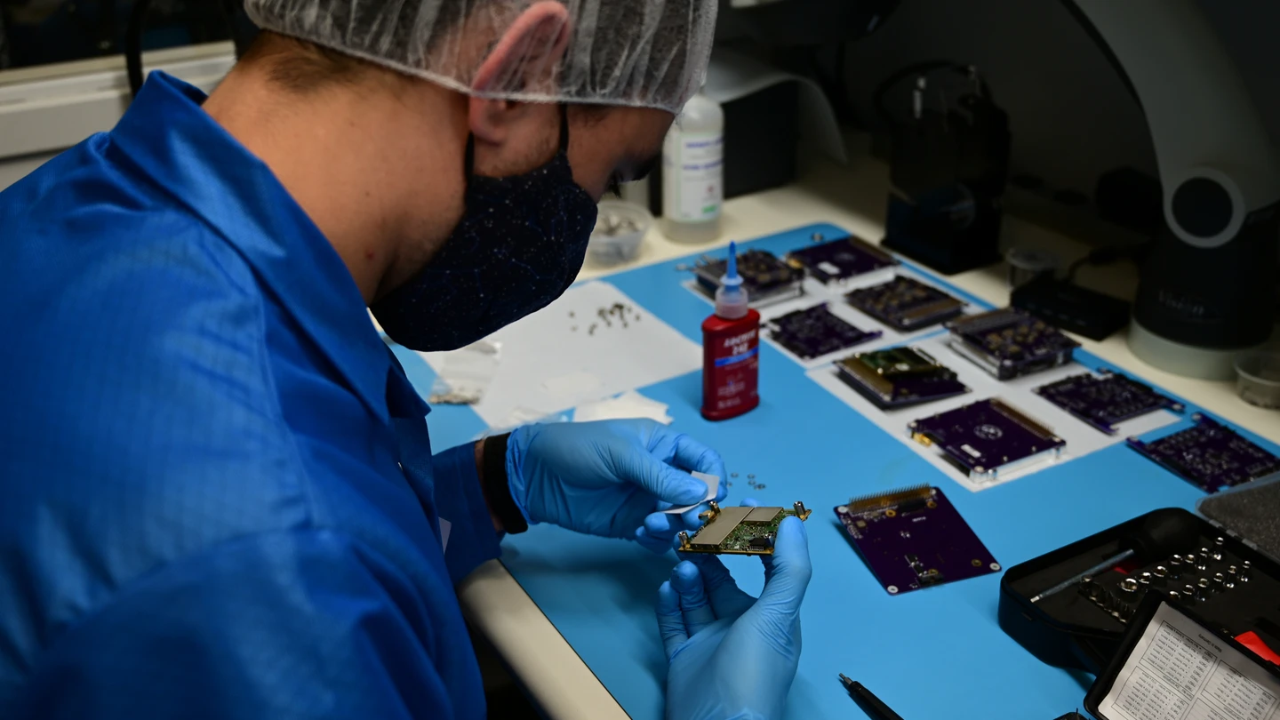
UVic’s newest satellite, PolarLink, is the third satellite envisioned, designed, built and flown by the 20-member space team at UVic’s Centre for Aerospace Research (CfAR). PolarLink’s objective is to study new solutions for Arctic connectivity through low Earth orbit (LEO) satellite constellations, and is scheduled to launch in late 2027.
How does PolarLink work?
PolarLink is an 8U CubeSat designed to demonstrate high bandwidth, low latency communications through LEO satellite networks, such as Kepler’s Aether system. By studying how these networks perform, PolarLink can help Canada and its researchers at Defence Research and Development Canada (DRDC) evaluate their potential to provide reliable connectivity solutions in Arctic regions.
Creating connections between satellites
PolarLink is equipped to communicate directly with other satellites in orbit through an optical communications terminal, which uses laser links to send data through commercial satellites in LEO.
Moving more data between the Earth and space
Through a Ka-band terminal, the PolarLink CubeSat can send and receive large amounts of data to a portable antenna on the ground. This provides a more reliable way to establish mobile connectivity in the field, including remote locations across the Arctic.
By combining these two payloads, PolarLink can demonstrate resilient communications solutions for Arctic regions and evaluate LEO constellations as an alternative to traditional broadband systems.
Aerospace engineering at UVic continues to soar
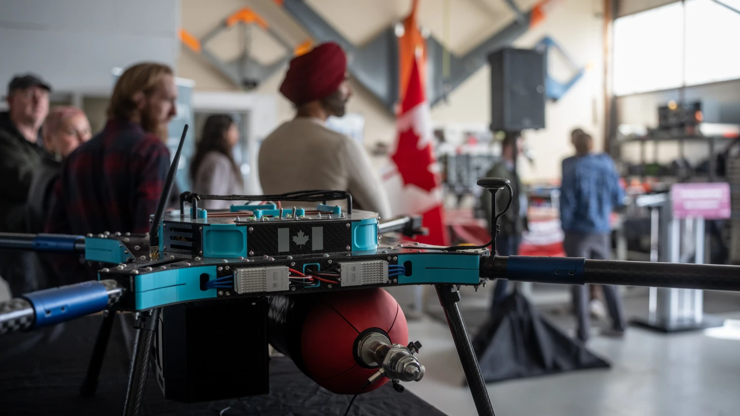
Beyond an expanding satellite program, CfAR is training co-op students through a new internal development program for uncrewed aircraft. Together, they’re advancing flight technologies with multiple capabilities, from flood and wildfire risk assessments to delivering medical supplies to remote communities.
Canada’s new home for space-focused innovation
“For the past 30 years, we’ve been building a sustainable and comprehensive aerospace engineering program,” says Afzal Suleman, professor of mechanical engineering and director of the Centre for Aerospace Research.
CfAR’s satellite program, uncrewed aircraft development and UVic’s new Master of Aerospace Systems Engineering are training tomorrow’s leaders to address real-world needs and connect with industry and policy makers. Backed by major federal investments, UVic has launched western Canada’s first integrated, space-focused innovation cluster.
We have a large group of students at a time, learning theory and getting hands-on experience with teamwork, design, building, testing and industry relationships that are quite unique to the R&D program.”
—Afzal Suleman, mechanical engineering professor
From satellites and ground stations to uncrewed aircraft, UVic’s aerospace program is taking flight, improving the flow of critical information and services across remote regions and helping bridge vast distances across Canada.
A network of people, knowledge and technology
Both the Cambridge Bay Coastal Community Observatory and PolarLink improve Canada’s ability to monitor and understand the Arctic, which is becoming increasingly important to our national sovereignty. But technology alone doesn’t drive change. Lasting impact comes from the people who turn complex information into meaningful insights.
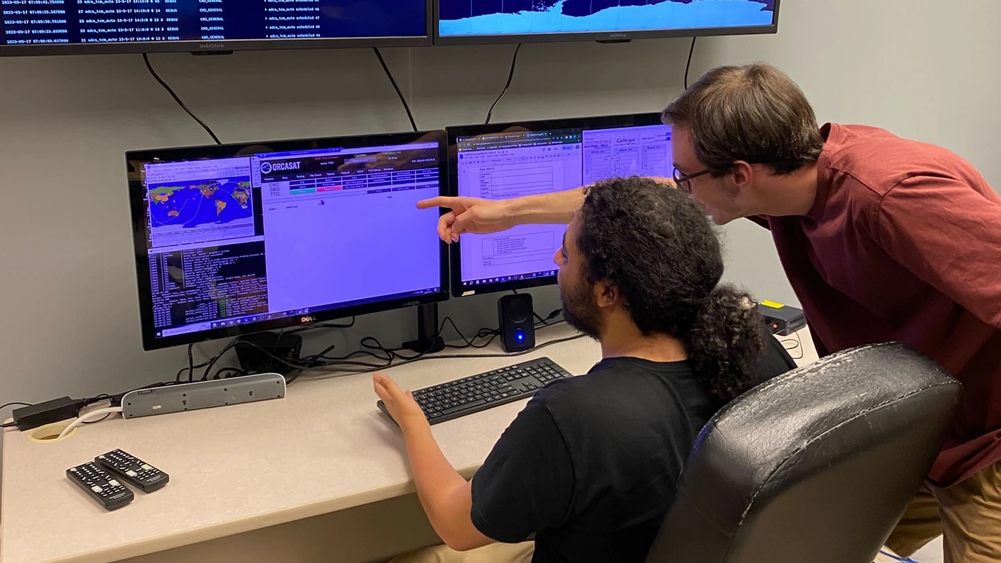
While these technologies extend from the seafloor up into space, their connections reach across Canada—from oceanographers at ONC and youth science ambassadors in Cambridge Bay and across the Arctic, to CfAR’s aerospace engineers training the next generation of aerospace talent.
Arctic stewardship and supporting informed decision-making for Canada’s future requires data—it also depends on human understanding.
Learn how UVic researchers are contributing to Canada’s sovereignty and security.