
Homayoun Najjaran
-
Aerial mapping tool takes flight
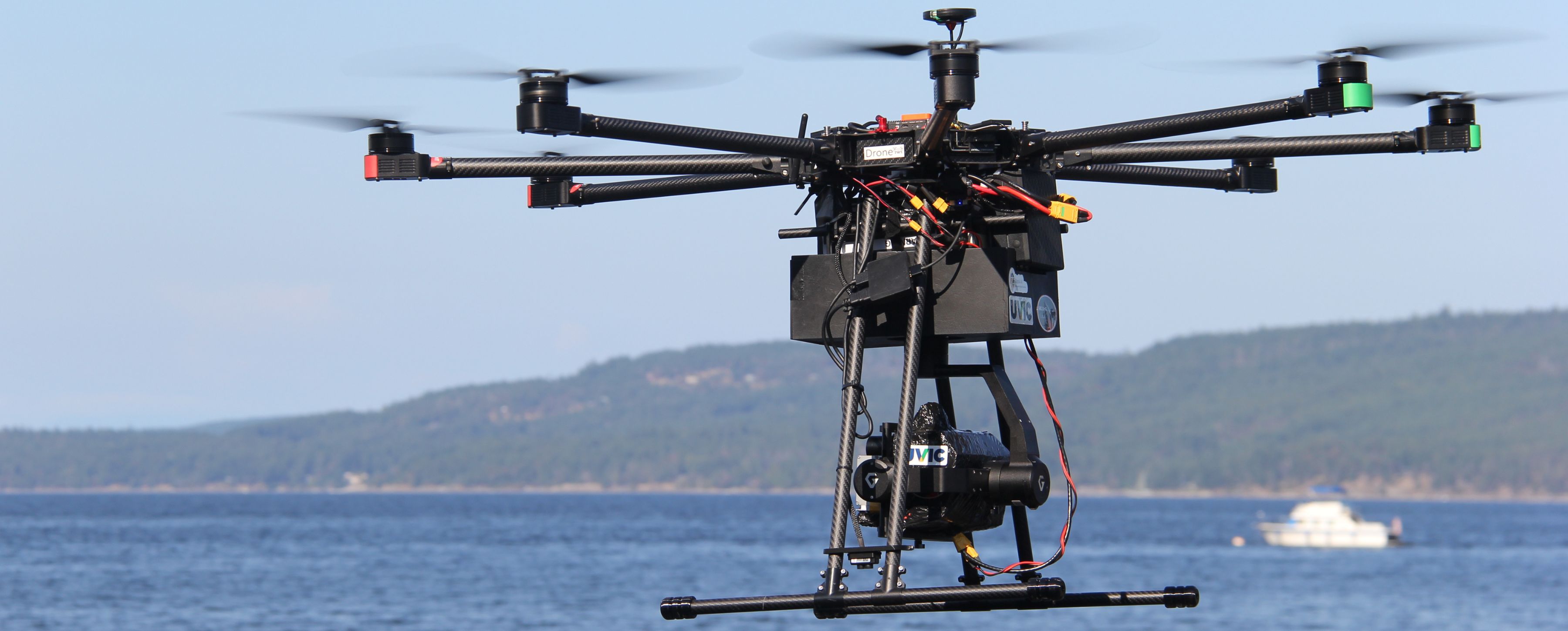
Researchers at UVic are partnering with Cowichan Tribes Emergency Services and InDro Robotics to test new drone technology to support risk management for natural disasters.
Researchers at UVic are partnering with Cowichan Tribes Emergency Services and InDro Robotics to test new drone technology to support risk management for natural disasters.